| Forecast Products |
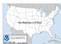
| Current Weather Watches |
| This is the current graphic
showing any severe thunderstorm and tornado watches which are in effect
over the contiguous United States. |
|
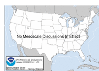
| Current Mesoscale Discussions |
| This is the current graphic showing any
mesoscale discussions (MD's) which are in effect over the contiguous
United States.
Current Mesoscale Discussions page.
|
|
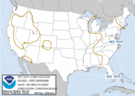
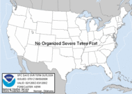
| Current Convective Outlooks |
| This is today's forecast
for organized severe thunderstorms over the contiguous United States. .
latest
Day 1 Outlook. |
Today's Outlook |
|
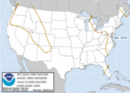
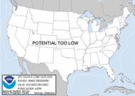
This is tomorrow's forecast
for organized severe thunderstorms over the contiguous United States.
The
latest Day 2 Outlook.. |
Tomorrow's Outlook |
|
| This is the day after
tomorrow's (day 3) forecast for organized severe thunderstorms over the
contiguous United States.
latest
Day 3 Outlook . Note: The
10% and greater probability thunder line is not included on the Day 3
Outlook. |
Day 3 Outlook |
|
This is the day 4-8
forecast for organized severe thunderstorms over the contiguous United
States. The
latest Day 4-8 Outlook iNote: A
severe weather area depicted in the Day 4-8 period indicates a 30% or
higher probability for severe thunderstorms (e.g. a 30% chance that a
severe thunderstorm will occur within 25 miles of any point). |
Day 4-8 Outlook |
|